The Challenge
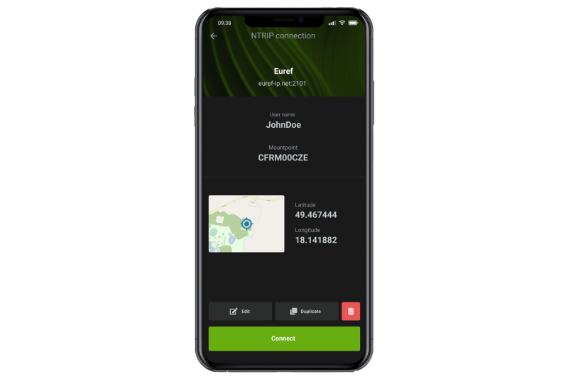
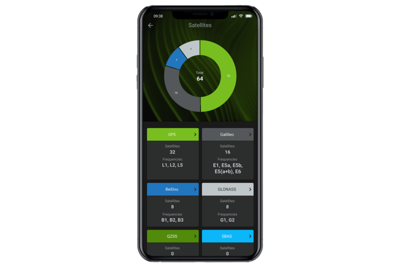
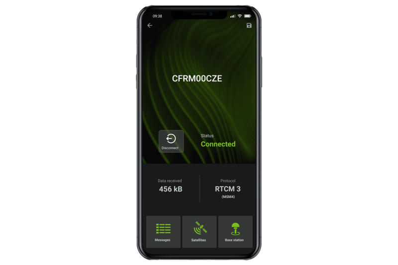
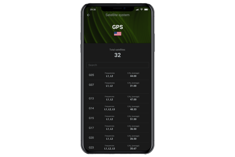
To provide a convenient way for GNSS end users and service providers to verify NTRIP connections
in the field without having to set up heavy, expensive equipment in advance.
In the rapidly evolving landscape of high-precision GNSS correction-based technologies and
services, drone operators, surveyors, and other professionals depend on NTRIP casters to get GNSS
corrections data in real time. For them, high precision isn't just an added advantage, but a
fundamental requirement. Whether they're mapping an area, constructing buildings, or
orchestrating drone flights, a mere centimetre can make the difference between success and
failure. However, dependence on NTRIP connectivity and adequate content of the correction streams
presented several hurdles that couldn't be ignored.
There are many factors that impact the availability of the GNSS corrections distributed over
NTRIP. Examples include the proper configuration and availability of the NTRIP caster, valid
credentials, subscription status, missing data connectivity, or being outside of a service zone.
Additionally, even if the connection is successfully established, but the rover operator still
cannot reach fixed state providing the highest accuracy, validating the content of the
corrections stream can help to reveal the root cause of the failure.
The root cause may be on the provider's side, where corrections for some signals aren't available
due to a misconfiguration or failure of the reference station's receiver. Another possibility is
when the station's receiver cannot process some signals due to interference or obstacles causing
missing visibility to the satellites. In case of VRS engines, which combine data from multiple
reference stations, the problem could be down to the misconfiguration or overload of the engine.
Other reasons are incompatibility of the corrections messages (e.g., MSM vs Legacy), or absence
of some particular messages in the stream, which are necessary to compute the accurate user
position.
Finally, the reason for not being able to reach the fixed state can be on the rover side itself,
such as when an operator provides an invalid position. Other examples are rover setup
misconfiguration or malfunction, poor data connectivity, or lack of GNSS signals.
In case of trouble, professionals need a way to quickly determine the root cause of the failure.
The traditional approach involves lugging notebook with dedicated analytical software and modem
providing data connection to the site to test the availability and content of the GNSS
corrections. If the test equipment was unavailable, the operator would have to rely on the
service provider support or use the lengthy trial-and-error approach.
Whenever planning a new mission, it is good practice is to test the availability of the
corrections prior to going to the fields. If a corrections service with a given configuration at
a selected location would be unavailable or would not meet the rover requirements, it would end
up being a waste of time and a drain on resources and manpower. Such a situation proves
especially cumbersome for field professionals, such as drone operators, who routinely have to
travel to remote sites and often have to complete their operations within a limited timeframe.
Service providers themselves also face challenges. They need a way to validate new services
before releasing them to the public, and they have to ensure consistent delivery and availability
of their services with various configurations and in various locations in order to uphold the
obligations of their SLAs.
With the GNSS ecosystem constantly expanding, and with users scattered across many different
regions, there was an urgent need for a user-friendly solution that could efficiently validate
and troubleshoot these connections in real time.
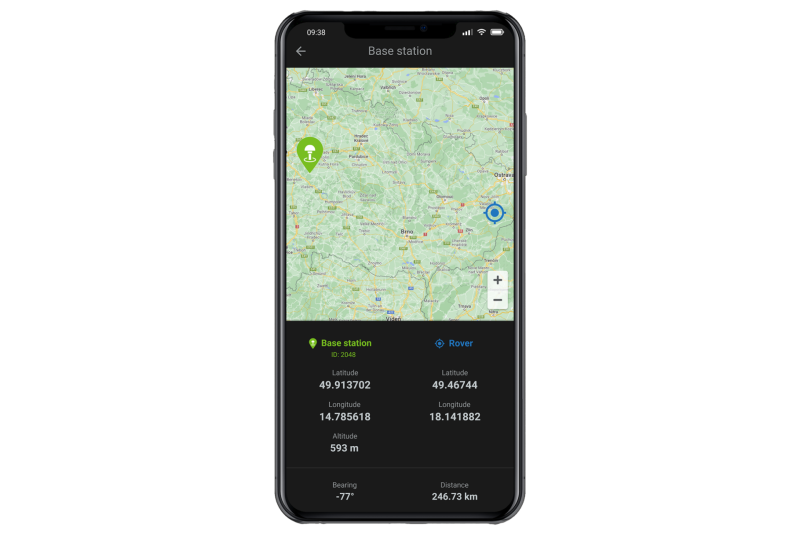
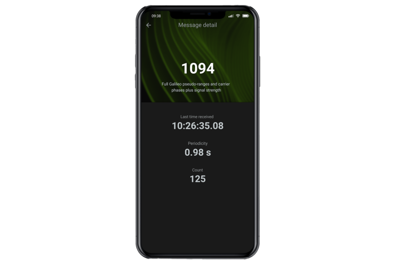
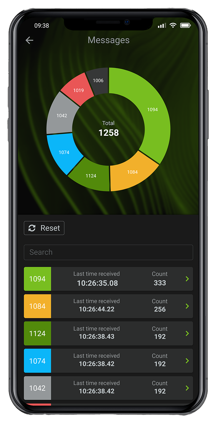
“With NTRIP checker, we created a go-to application for RTK network support engineers,
surveyors, or any other rover operator.” - Tim Van den Eede (Chief Commercial Officer at
Navmatix)